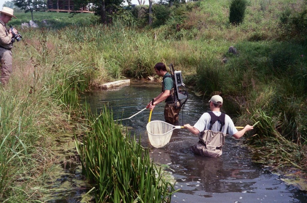
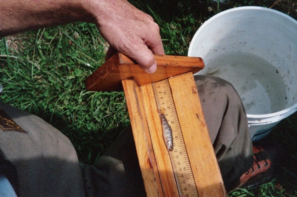
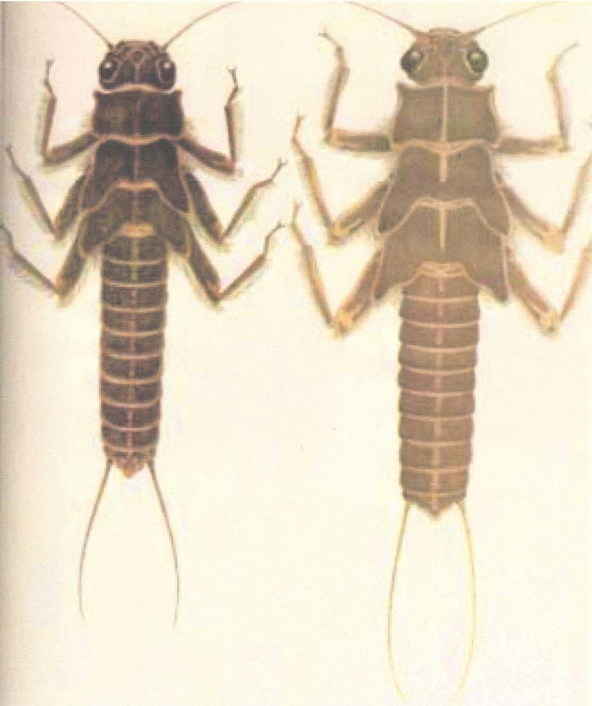
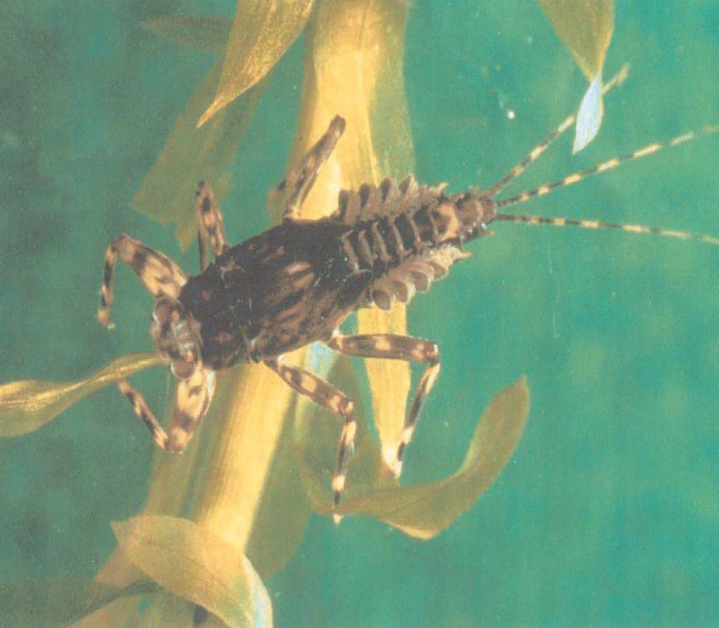
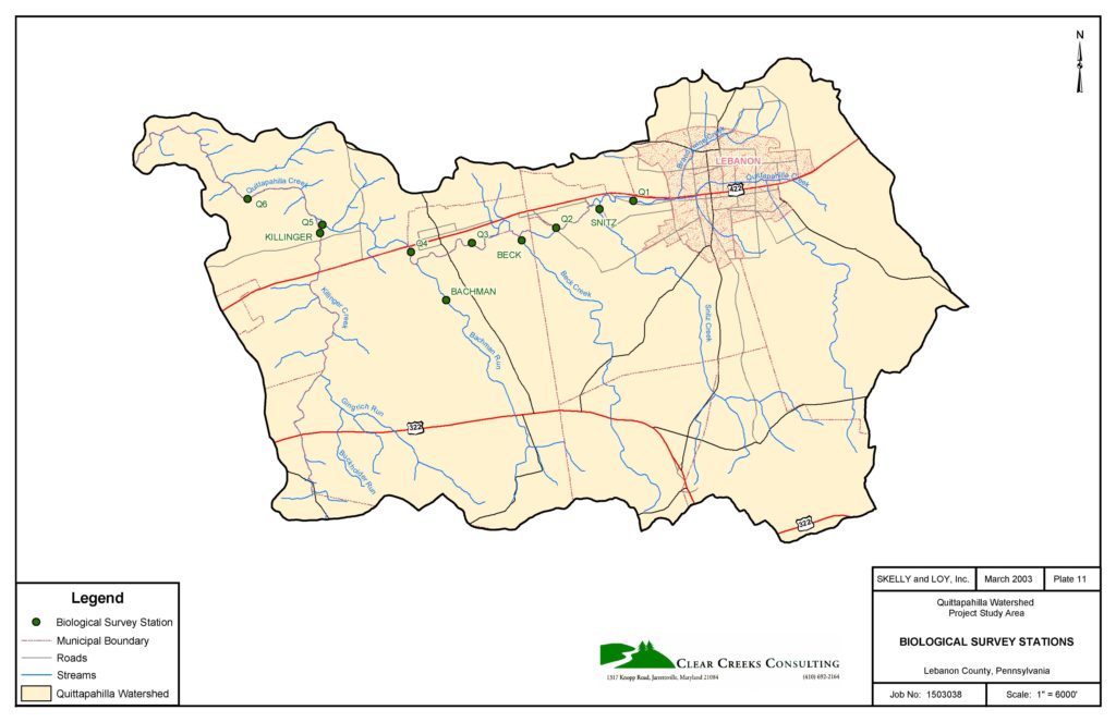
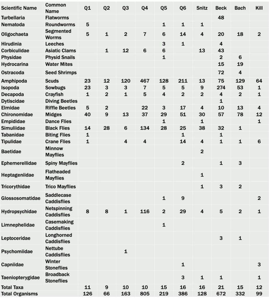
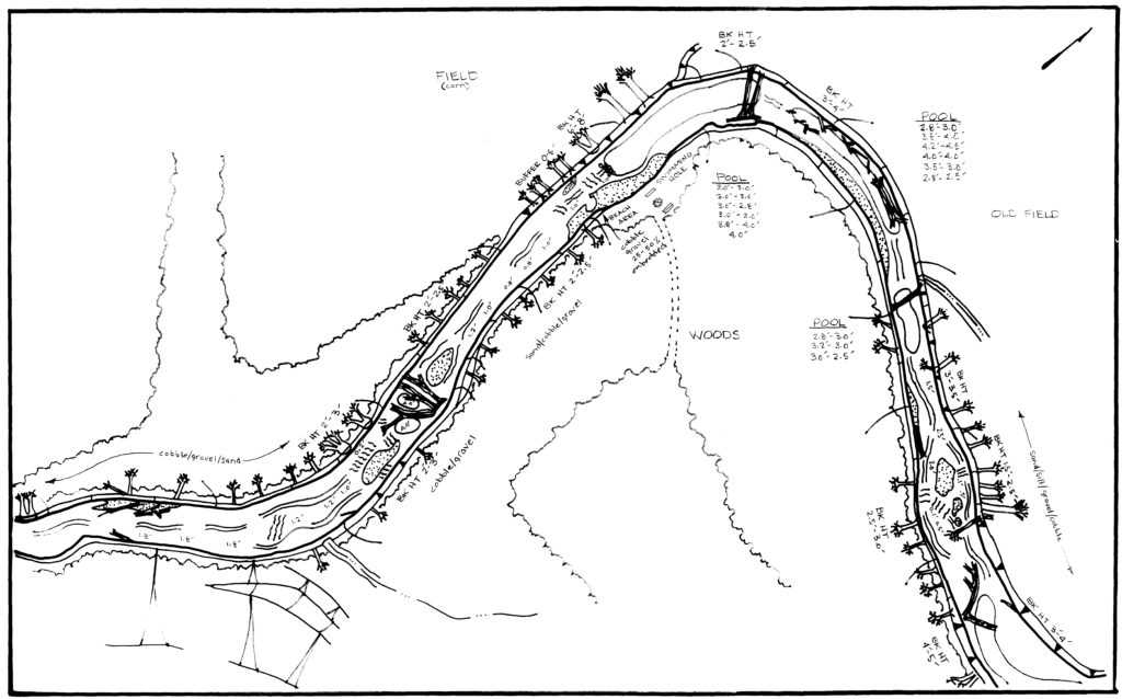
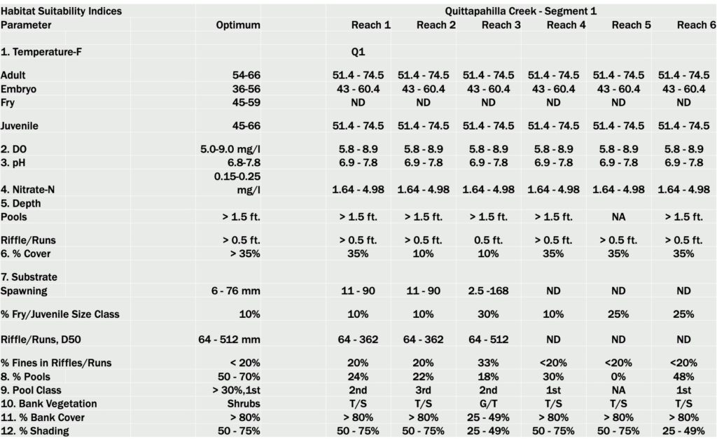
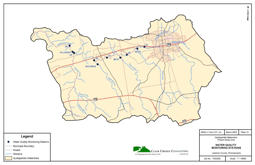
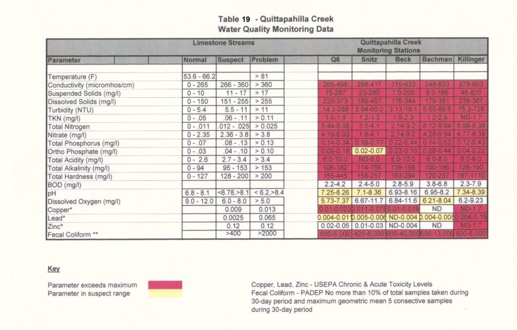
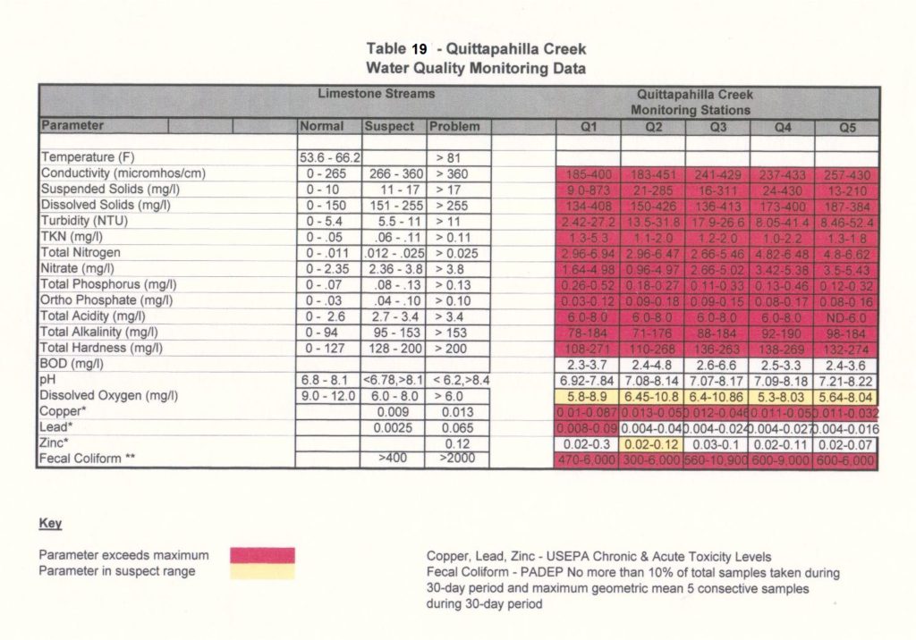
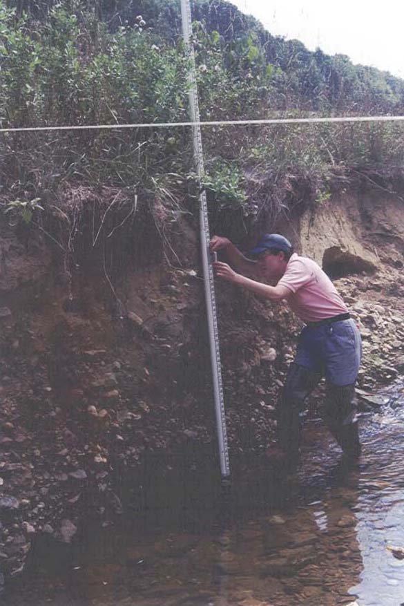
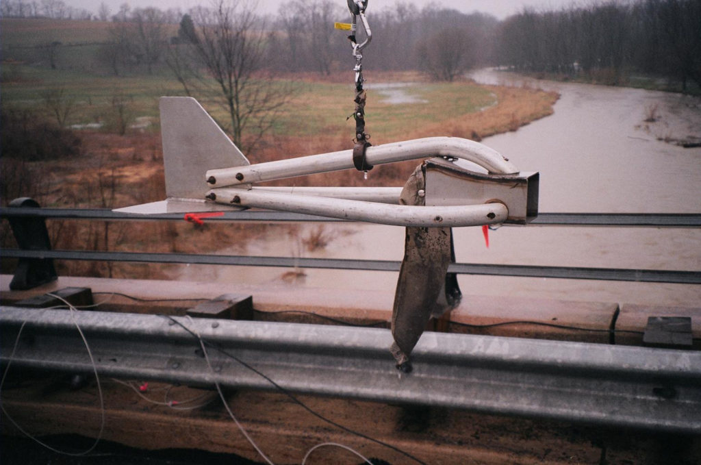
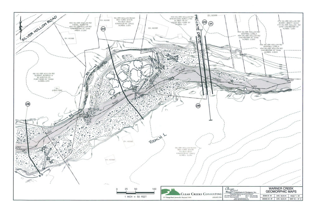
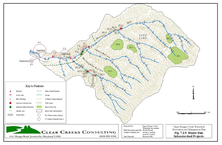
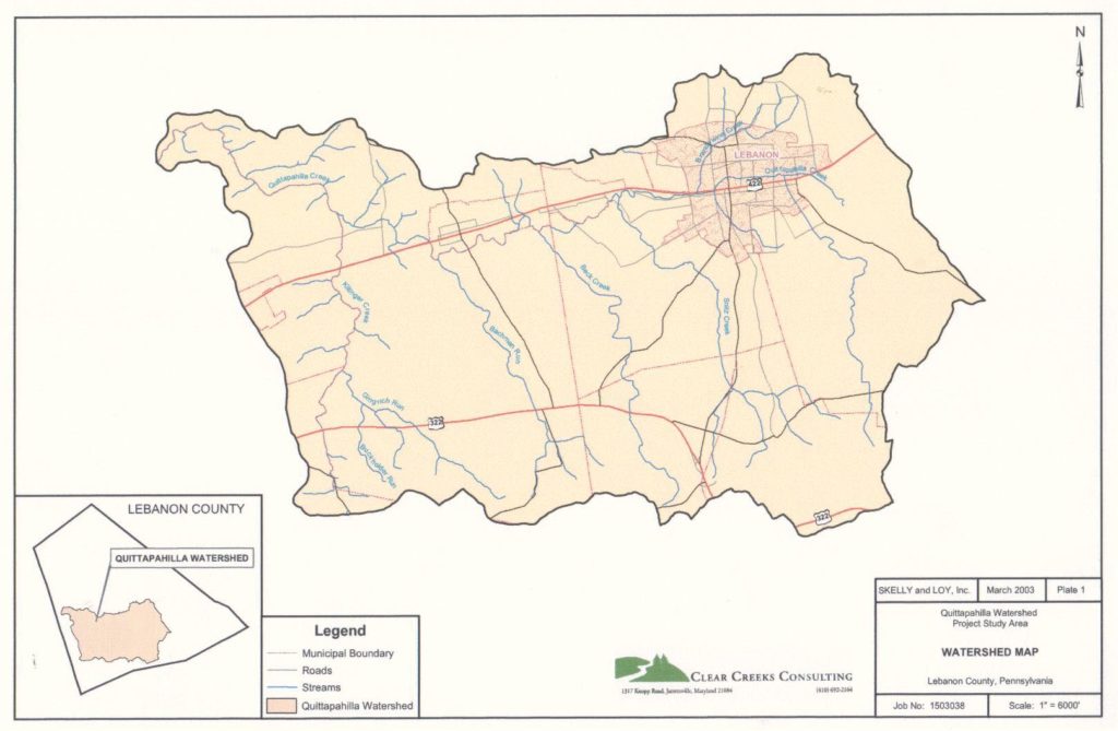
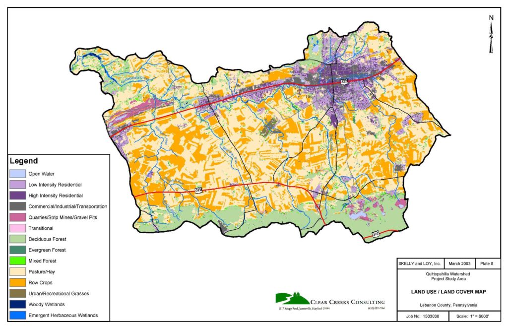
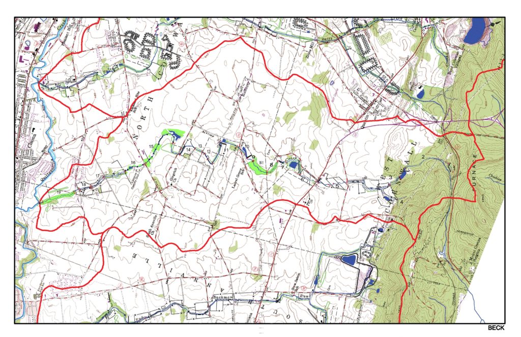
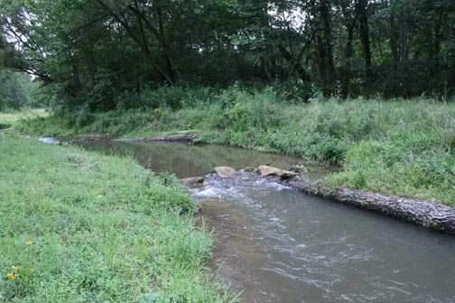
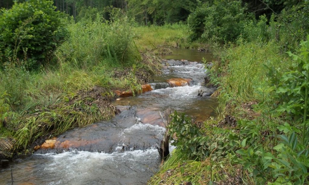
Services Biological Stream Survey Fisheries and Macroinvertebrate Surveys including use of USEPA Rapid Bioassessment Protocols (RBP) Biotic Condition and Index of Biological Integrity Evaluations Quittapahlla Creek Fall 2003 Macroinvertebrate Survey Results Habitat Assessment Habitat Mapping, Typing, and Evaluations of Habitat Suitability for Fish and Macroinvertebrates Monitoring the Effects of Habitat Improvements on Aquatic Biota Quittapahilla Creek Habitat Map Quittapahilla Creek Summer 2001 Habitat Assessment Water Quality Monitoring In-Situ Monitoring with Field Instrumentation Baseflow and Storm Sampling Sample Collection fo Lab Analysis Chemical and Physical Parameters Baseline and Post Project Monitoring Geomorphic Stream Assessment Geomorphic Stream Inventories Stream Gage Calibration Surveys Geomorphic Mapping Rosgen Stream Classification Channel Condition and Stability Assessments Evaluation of Natural Recovery Potential Sediment-Discharge Rating Curves Identification, Surveying and Cataloging of Reference Reaches
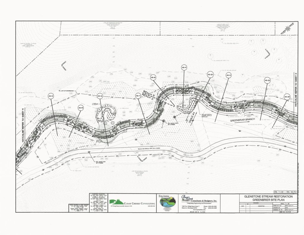
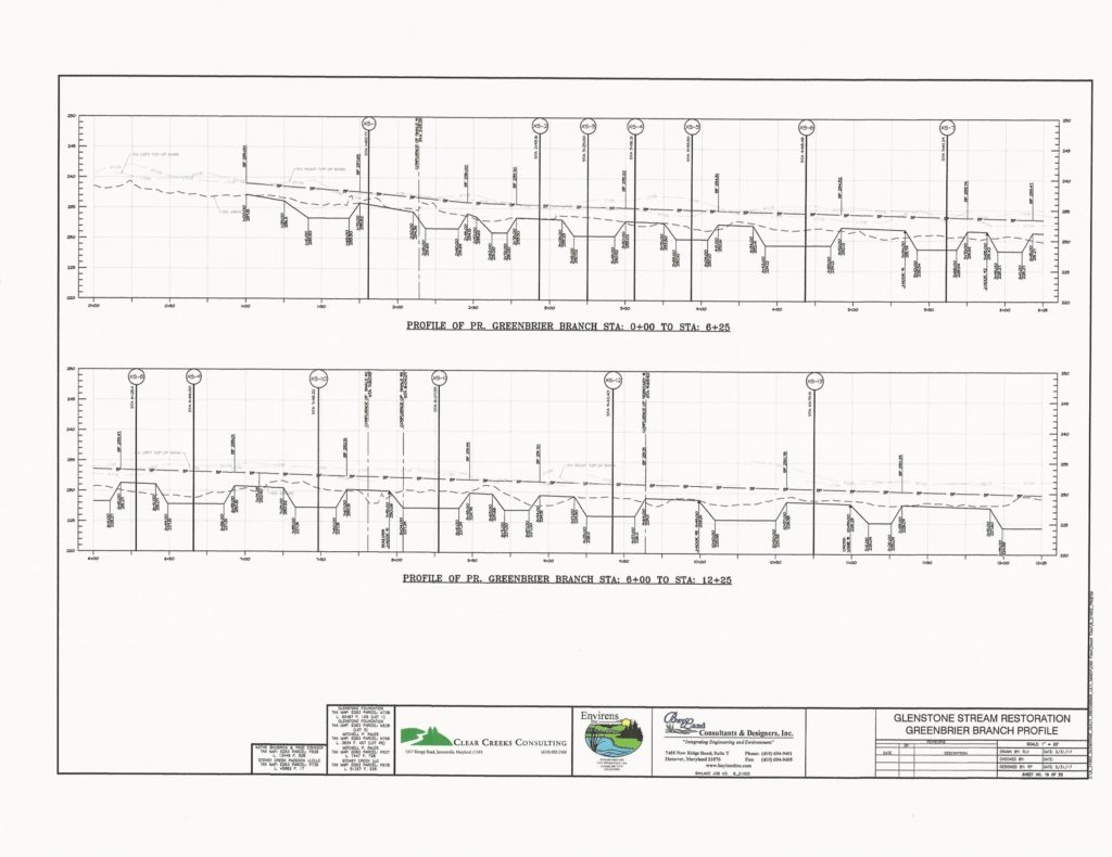
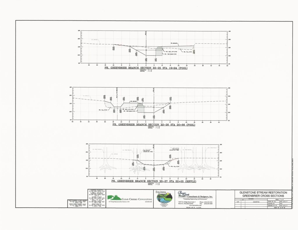
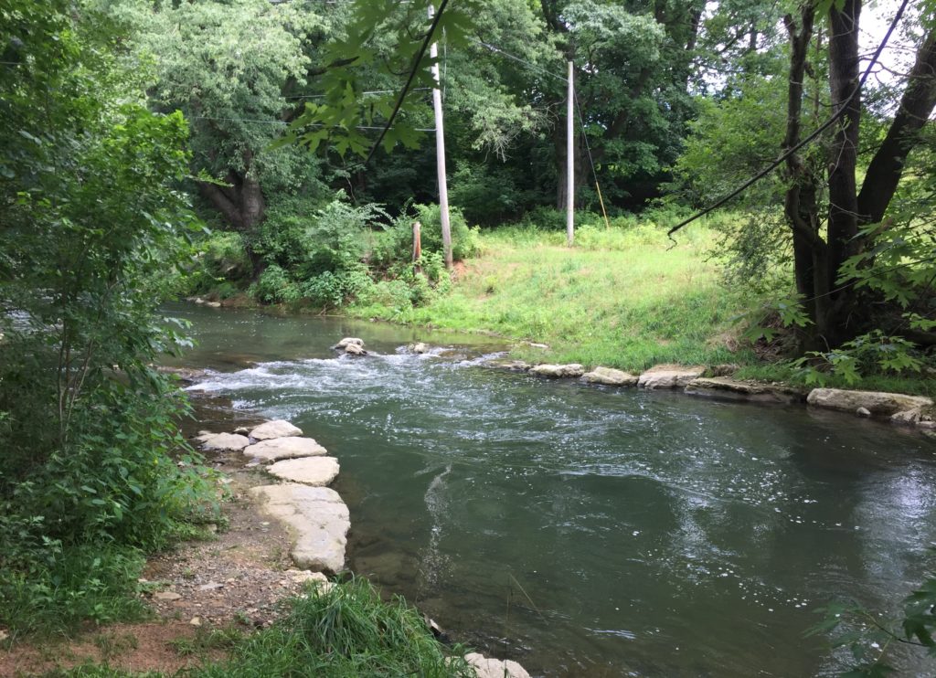
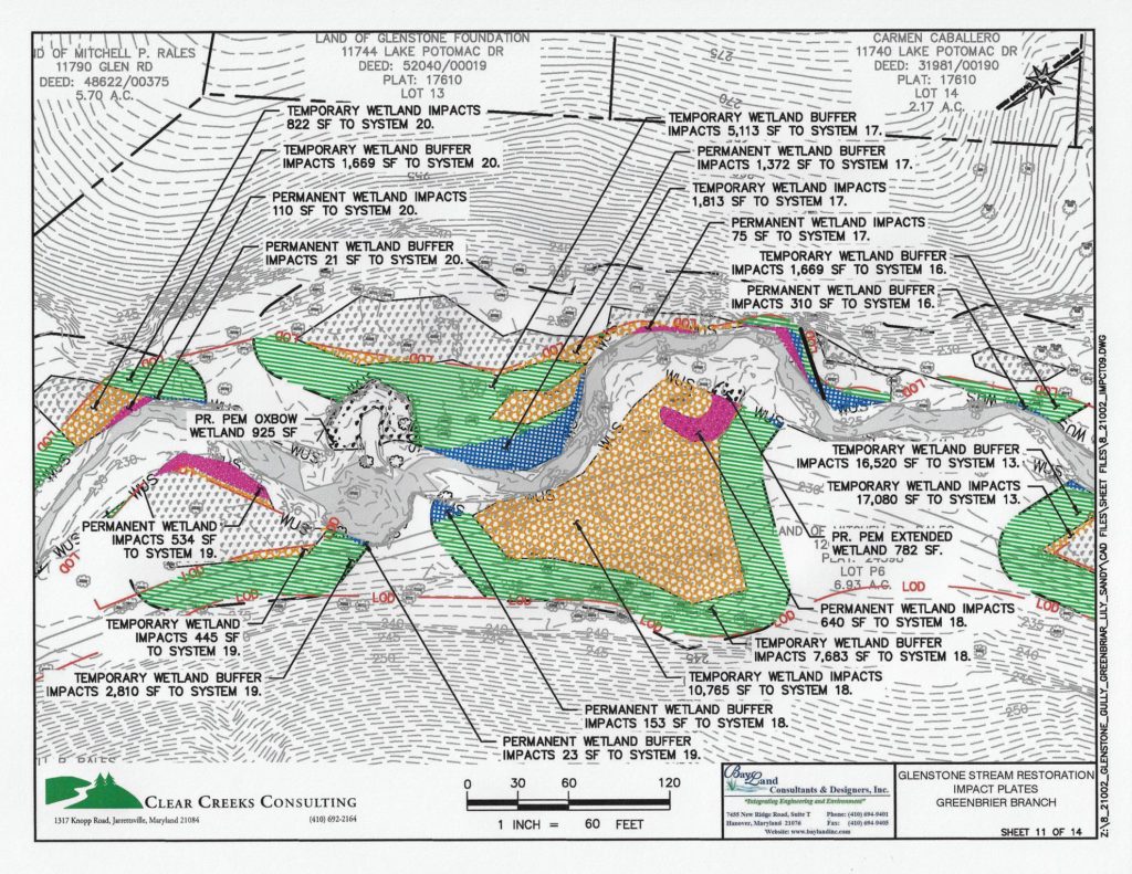
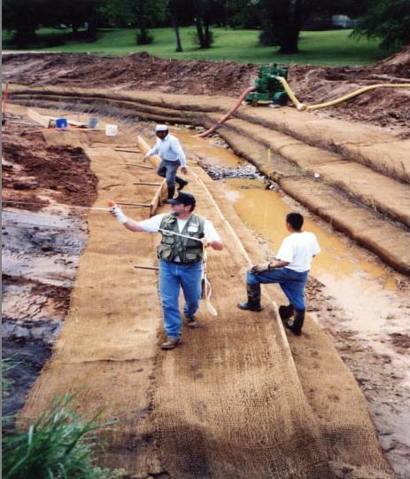
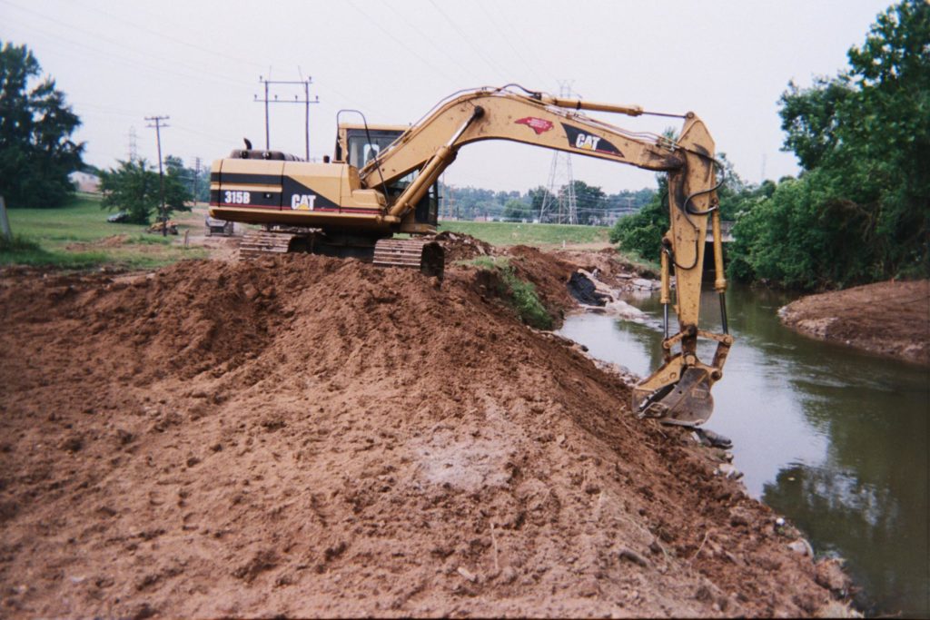
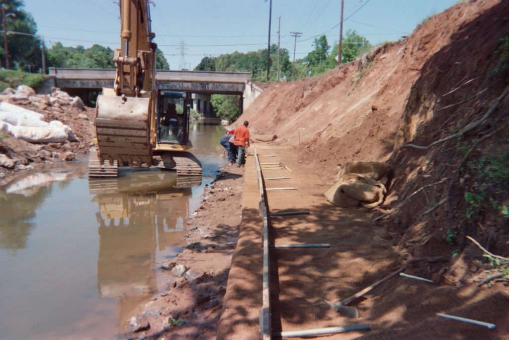
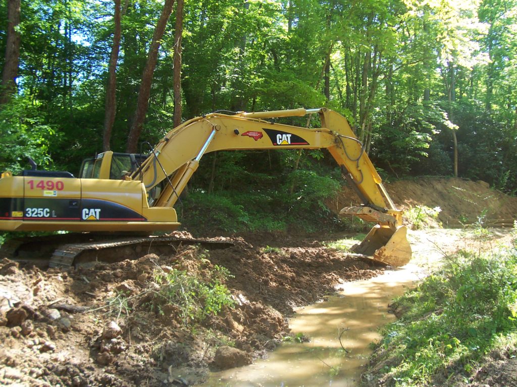
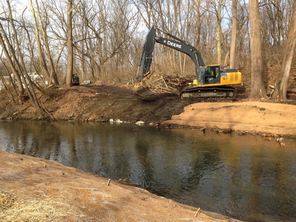
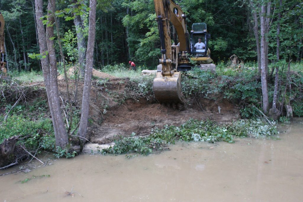
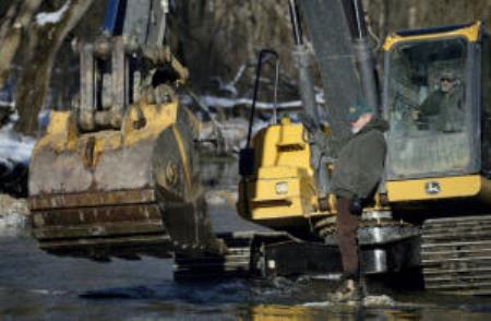
Watershed Assessments GIS Mapping and Analysis Watershed Reconnaissance Surveys Biological Stream Assessments Habitat Mapping and Evaluations Geomorphic Stream Assessments Watershed Hydrologic and Hydraulic Analyses Water Quality Monitoring Problem Identification, Ranking and Prioritization Watershed Management and Action Plans Prioritization of Problems Identified During Assessment Phase Identification of Potential Restoration & Management Measures Feasibility Analyses of Site-Specific Restoration & Management Measures Evaluations of Restoration & Management Measures utilizing Hydrologic & WQ Modeling GIS Mapping of Restoration & Management Projects Prioritization of Restoration & BMP Projects Estimation of Project Costs Project Scheduling Review and Evaluation of Existing Regulatory and Management Programs Ecological Restoration Design and Implement Ecological Restoration ProjectsStream Channel Restoration:Implementation of Riparian Zone Management Techniques and Natural Recovery Processes In-Stream Habitat Enhancement for Optimizing Fish Habitat Bank Stabilization utilizing Bioengineering techniques and riparian zone plantings Restoration of Stable Channel Dimension, Meander Pattern, and Profile Fish Passage Measures at Culverts and Low Stage Dams Conversion of Springs, Irrigation Ditches, and Piped Systems to Stream Channels and Wetlands Floodplain Restoration and EnhancementRemoval of Historic Floodplain Fills and Legacy Sediments Wetland Creation and Restoration Native Grass and Wildflower Meadows Riparian Forest and Scrubland Environmental Design Existing Conditions Topographic Surveys Hydrologic and Hydraulic Analyses Concept Designs and Renderings Preliminary and Final Design Plans Erosion & Sediment Control Plans Construction Drawings and Specifications Cost Estimating Permitting Impact Analyses and Alternatives Analyses Federal, State, and Local Permitting Permit Applications and Supporting DocumentsWetland Delineations and Natural Resource Inventories Functional Assessment and Ecological Uplift Floodplain and Wetland Impact Plates Historic and Archeological Coordination Project Related Public Meetings and Site Walks Construction Management Preparation of Bid Documents Construction Scheduling Construction Stake Out On-Site Construction Oversight and Inspection As-Built Surveys Post Construction Monitoring 5-Year Regulatory Assessments, Documentation and Reporting Geomorphic Assessments of Channel Condition Evaluation of In-Stream Structure Condition and Function Survivability Assessments of Riparian and Streambank Plantings Photo Documentation Reports and Recommendations Related to Maintenance and Repairs Training and Workshops
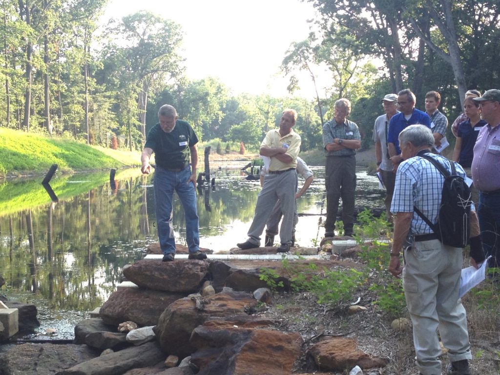
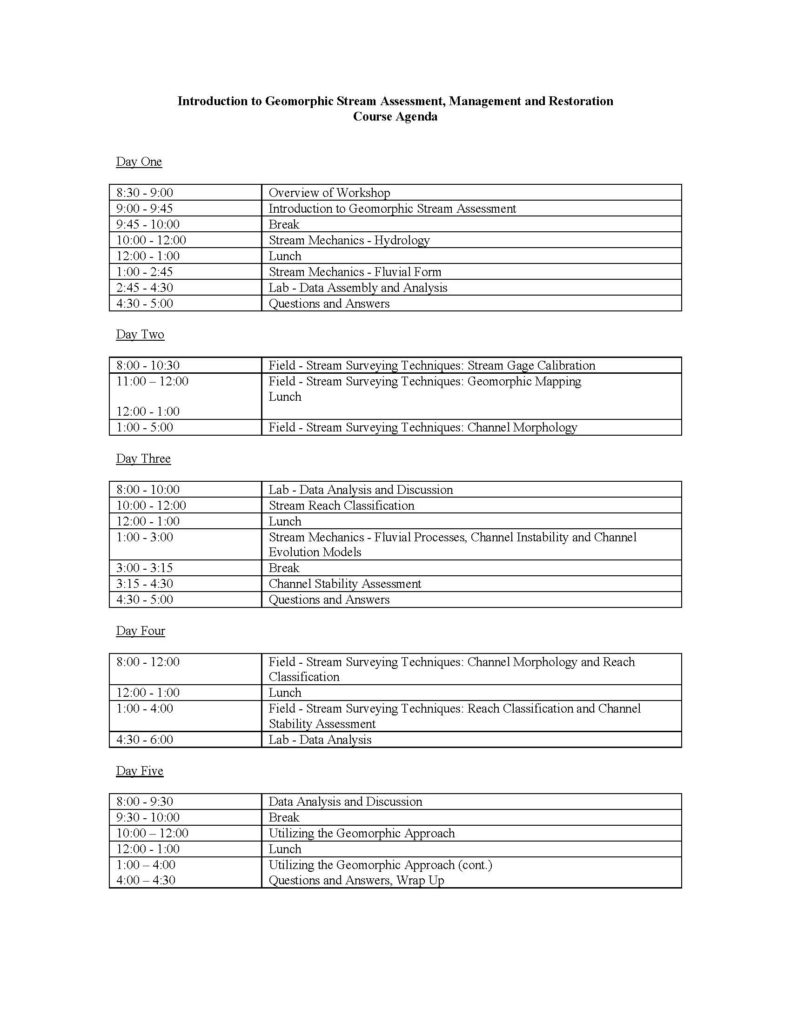
Workshops and Training Seminars for Professionals, Watershed Associations and Community Groups Introductory and Advanced Workshops and Short Courses related to:Stream Ecology and Biological Survey Methods Stream Hydrology and Mechanics Geomorphic Stream Assessments including Stream Reach Classification and Stability Assessment Methods Stream Gage Calibration Surveys and Developing Regional Curves Developing Watershed Management Plans and Protection/Restoration Strategies Applications of the Natural Channel Design Approach to Stream Restoration Introductory and Advanced Workshops and Short Courses Each course is tailored to meet the client’s needs. The courses include classroom instruction as well as lab and field exercises to reinforce principles and techniques. Representative Workshops and Training Short Courses Presented:Geomorphic Stream Assessment and Natural Channel Design Geomorphic Stream Assessmen t Adirondack Chapter, Trout Unlimited Stream Morphologic Classification and Channel Stability Assessment Stream Channel Stability: Assessment, Restoration and Management Stream Processes, Assessment and Restoration Stream Processes, Assessment and Restoration Workshop and Short Course Participant Comments: “It was great.” – “I liked that, though we covered a lot of material, plenty of time was given for questions and discussions, very important!” – “Fieldwork was very useful.” – “I very much enjoyed the course! I expect to take the 2nd course and immediately begin practicing surveying techniques and fine tuning skills learned in the lab and field exercises.” – “Good team building exercises in the field.” – “Course was well organized and beneficial.” – “Overall, the best technical training I’ve been exposed to.”
